Perrier Motor Map Of England And Wales


Perrier Motor Map Of England And Wales
29544
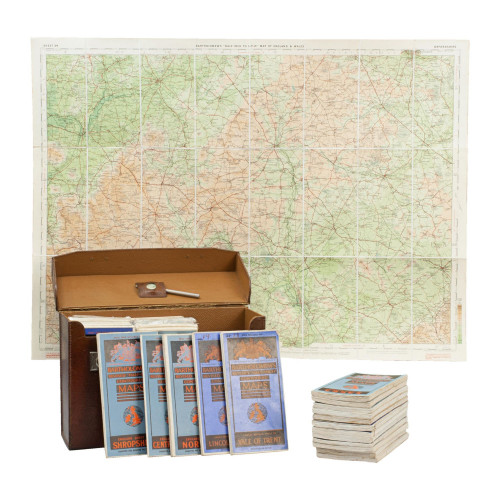
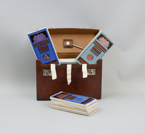
Perrier Motoring Map of England & Wales.
A wonderful traveler's case containing thirteen road maps of England and Wales, plus a distance table and a plan showing principal roads out of London. There is an index card with a map of the whole country, which is divided into numbered sections, these correspond to the numbered map cards. This is a promotional item for 'Perrier' the French natural sparkling table water. The royal warrant (H.M. King George V) for the beverage is proudly shown on front of the index card. The single sided coloured maps on an 8 miles to the inch scale, all printed on card and with index taps to top edge. These are undated but around 1920-1923 as the Road lettering and numbering system (A1, A40 etc) is not used. Comes in the original green cloth case with silver and red lettering, plastic front to case revealing maps behind, two press fasteners to rear flap, a very well-preserved set.
Dimensions:
1900-1949
Circa 1920's
Paper
United Kingdom
Good
RELATED ITEMS


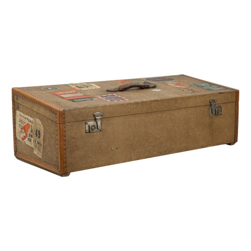
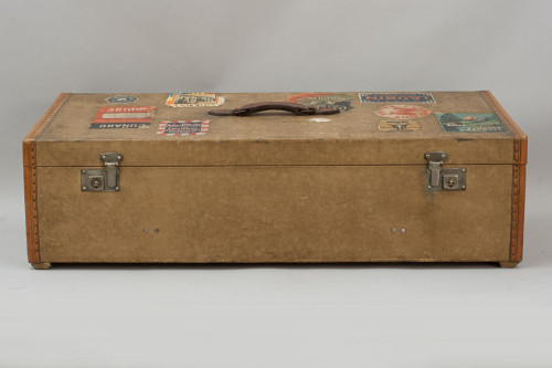

 for the beverage is proudly shown on front of the index card. The single sided coloured maps on an 8 miles to the inch scale, all printed on card and with index taps to top edge. These are undated but around 1920-1923 as the Road lettering and numbering system (A1, A40 etc) is not used. Comes in the original green cloth case with silver and red lettering, plastic front to case revealing maps behind, two press fasteners to rear flap, a very well-preserved set.)